Walking the TfL map – 18th June
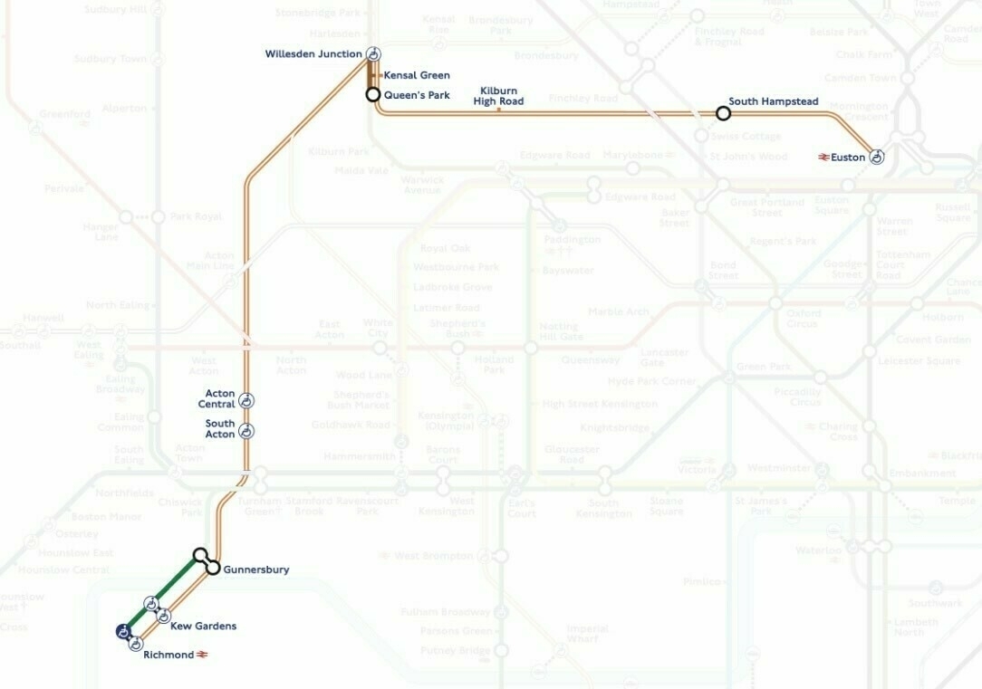
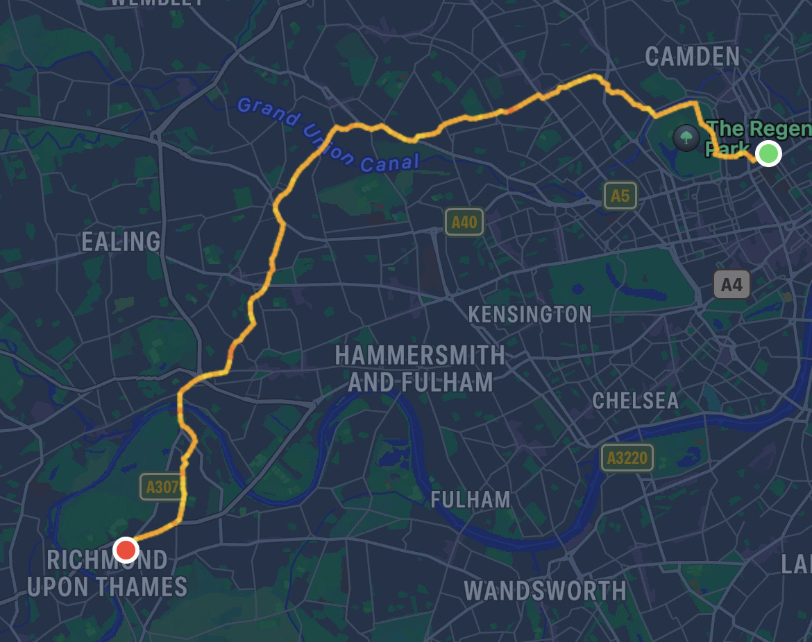
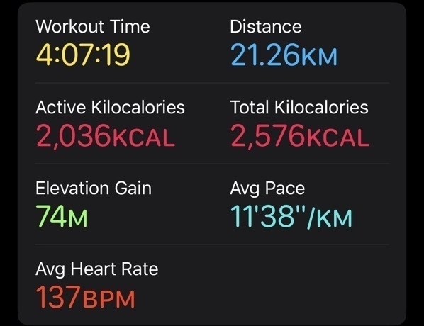
Today’s TfL map walk took me to Richmond.
Photos
Today’s walk
Stats
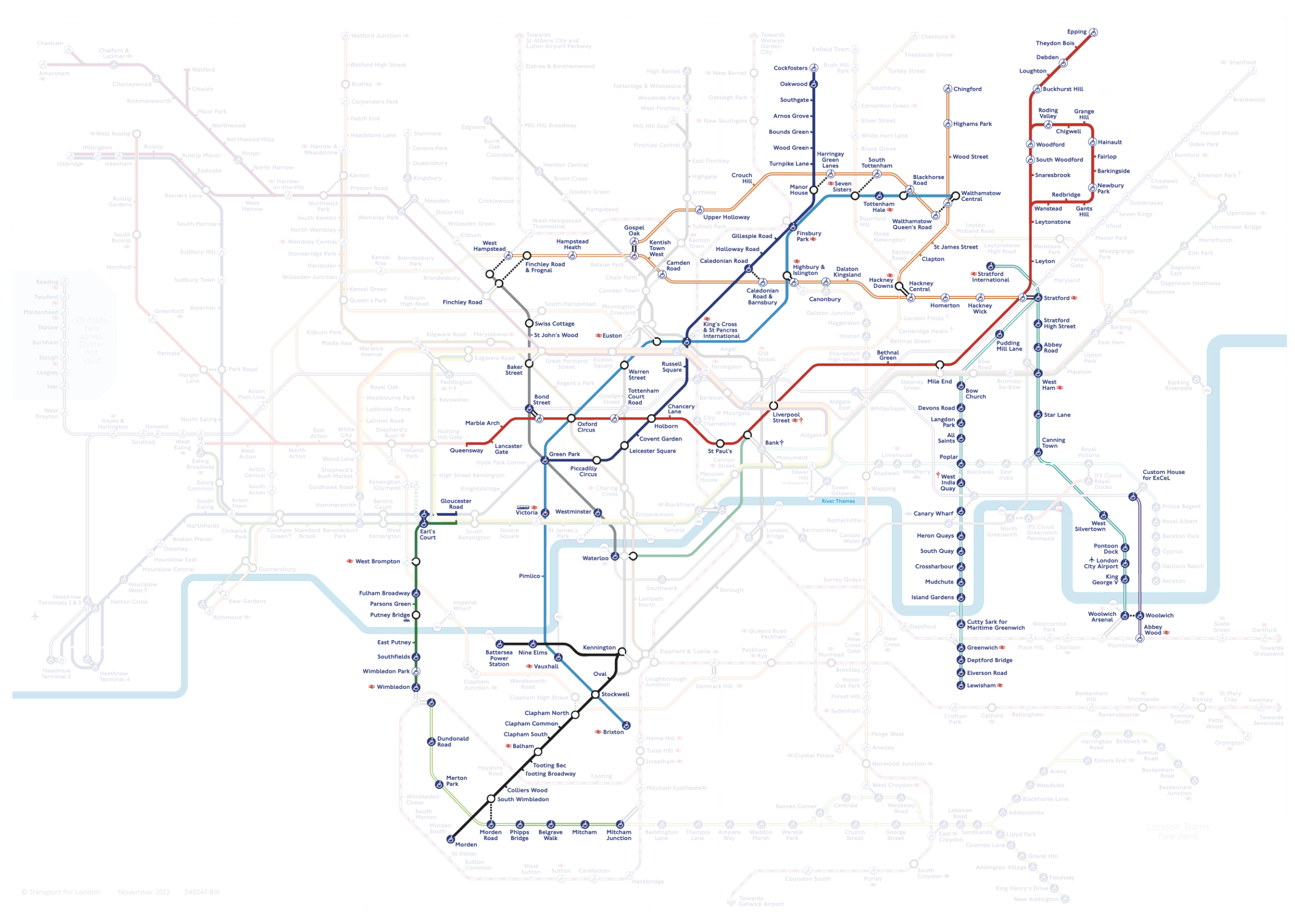
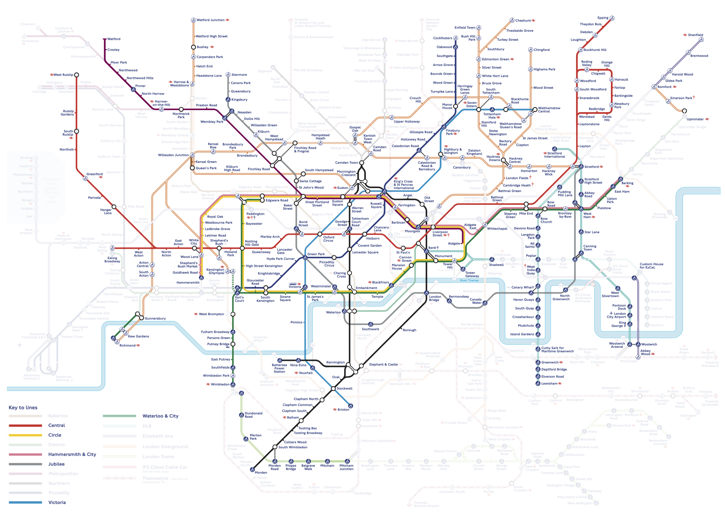
Where I’ve walked so far
Walking the TfL map – 4th June
Here we go again. Another walk to the very north of the TfL map, but this time a bit closer to home.
Photos
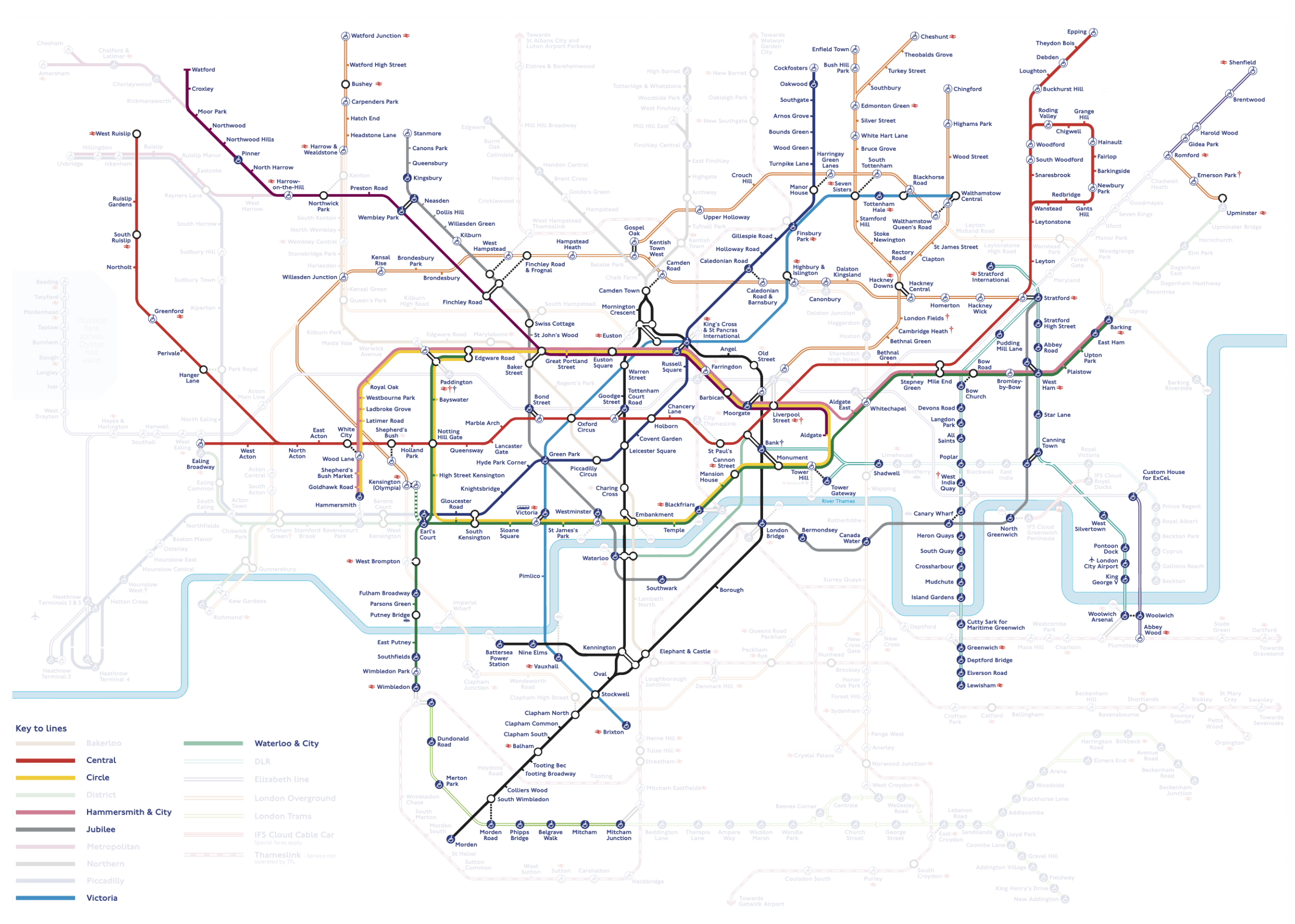
Where I’ve walked
Walking the TfL map – 3rd June
Another walk around the TfL map today - this time getting dangerously close to going north of Watford shudder
Photos
Where I’ve walked
Walking the TfL map – 28th May
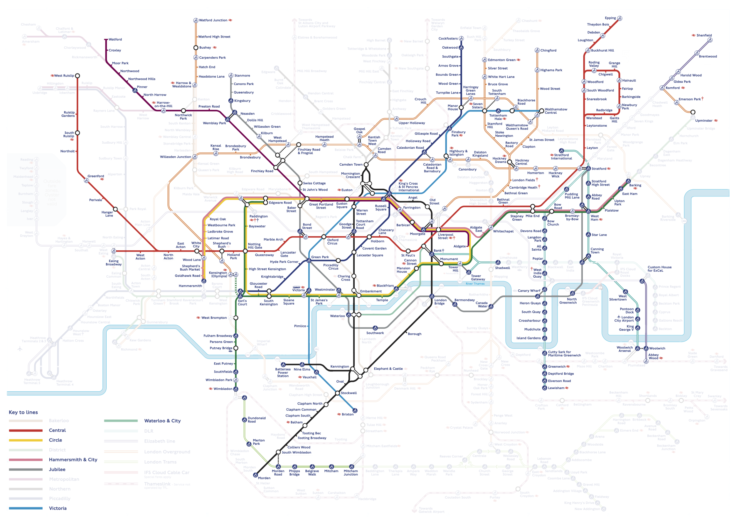
Another TfL map walk today - this time ticking off some stuff in the top right of the map.
Photos
Where I’ve walked
ffs
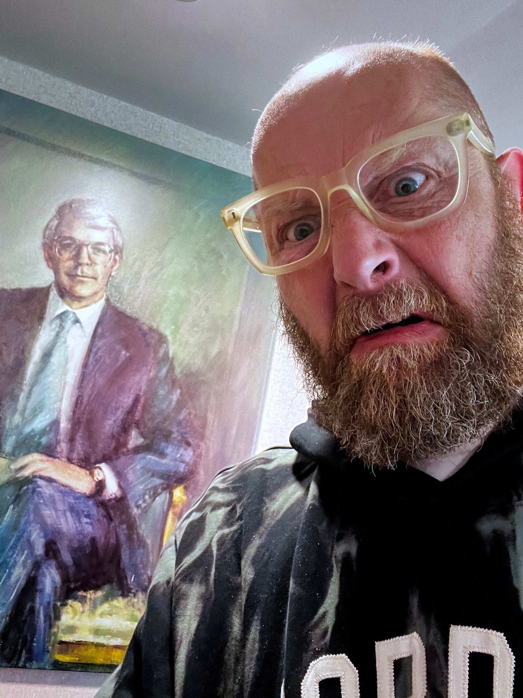
No movements 🏏
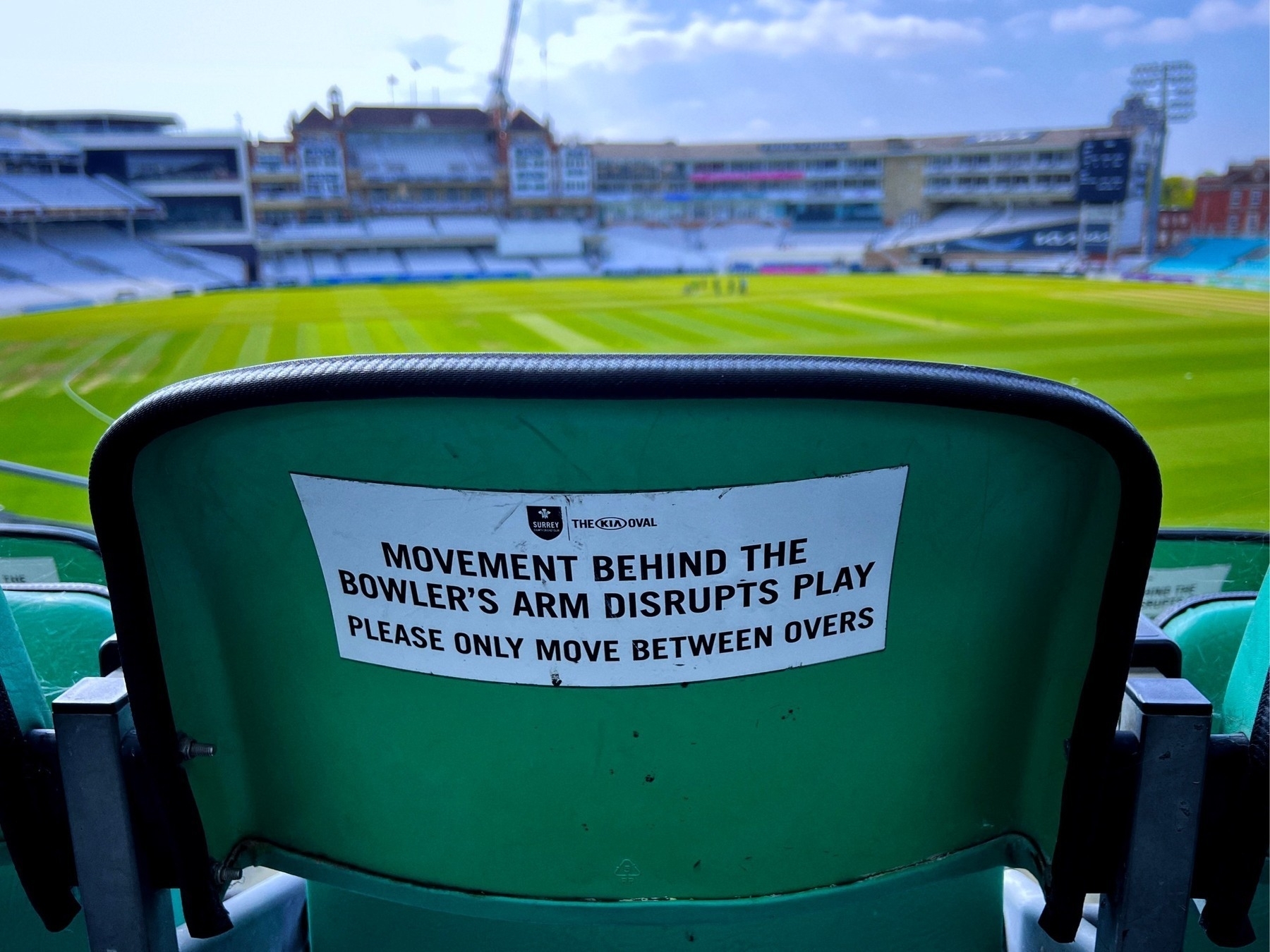
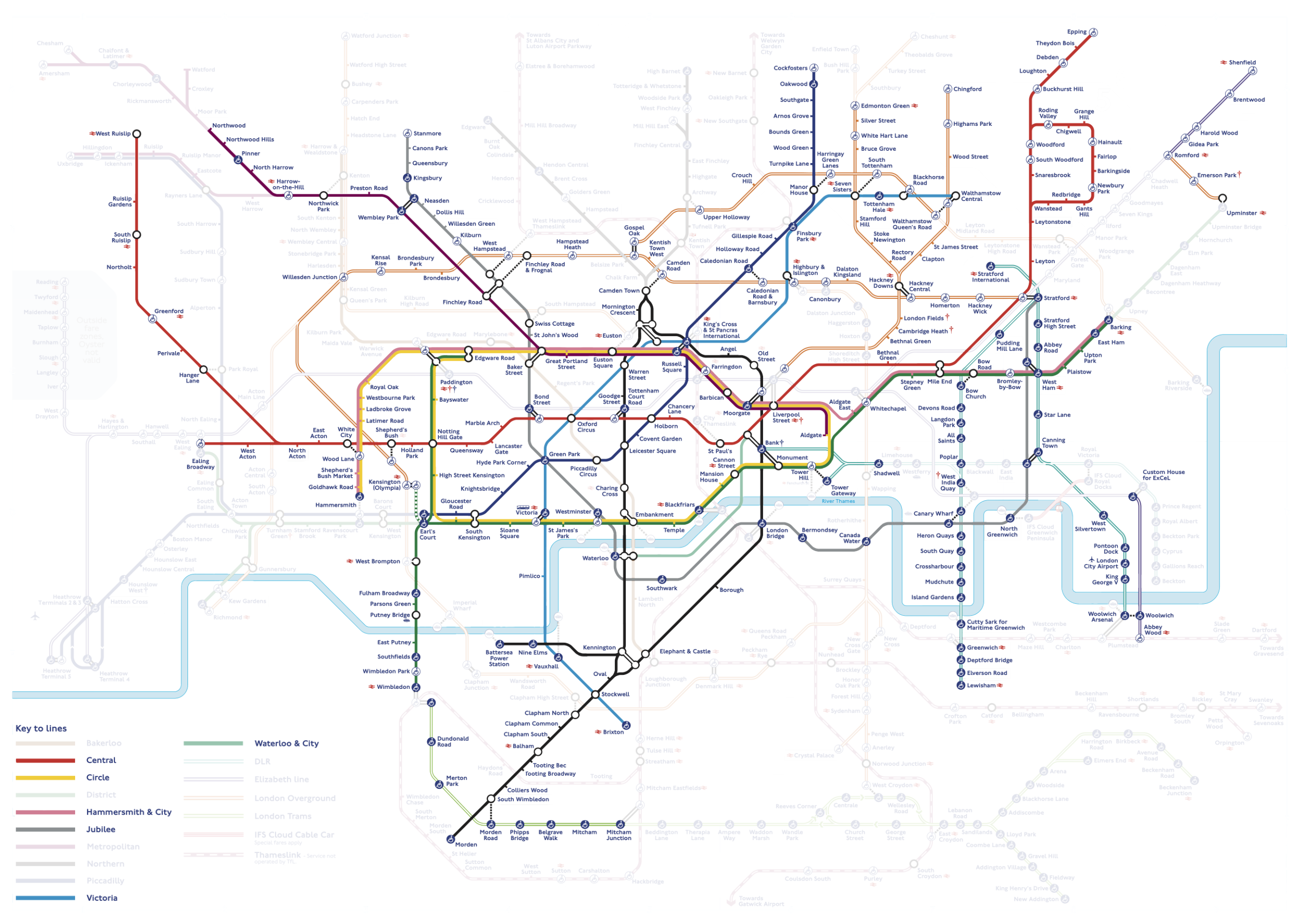
The photos and slideshow from yesterday’s #WalkTheTube walk are now up in the usual place:
📷🚶🇬🇧🚇
Walking the TfL map – 29th April
Another #WalkTheTube expedition today, this time pushing out into Metroland.
Photos
Where I’ve walked
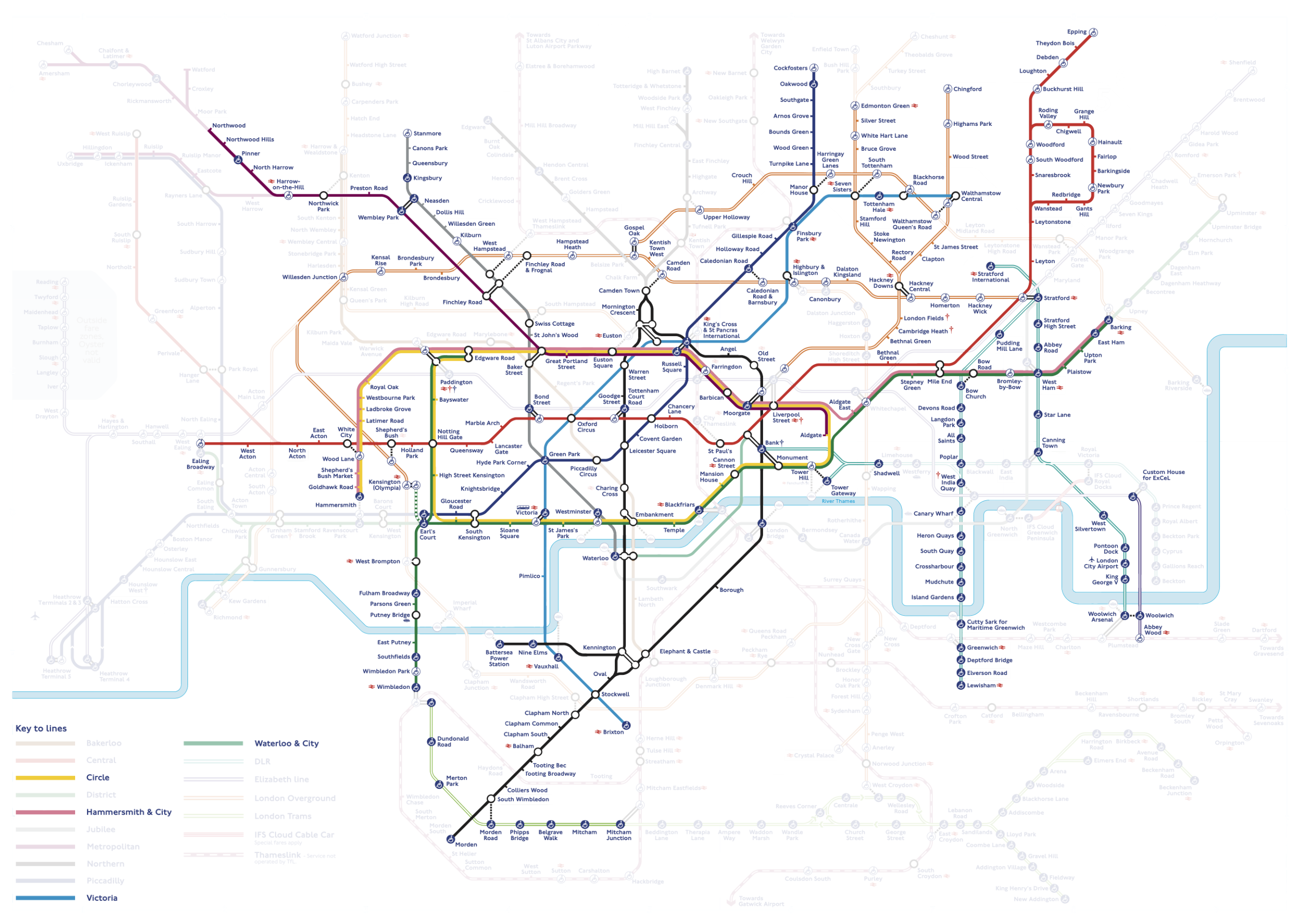
Walking the TfL map – 22nd April
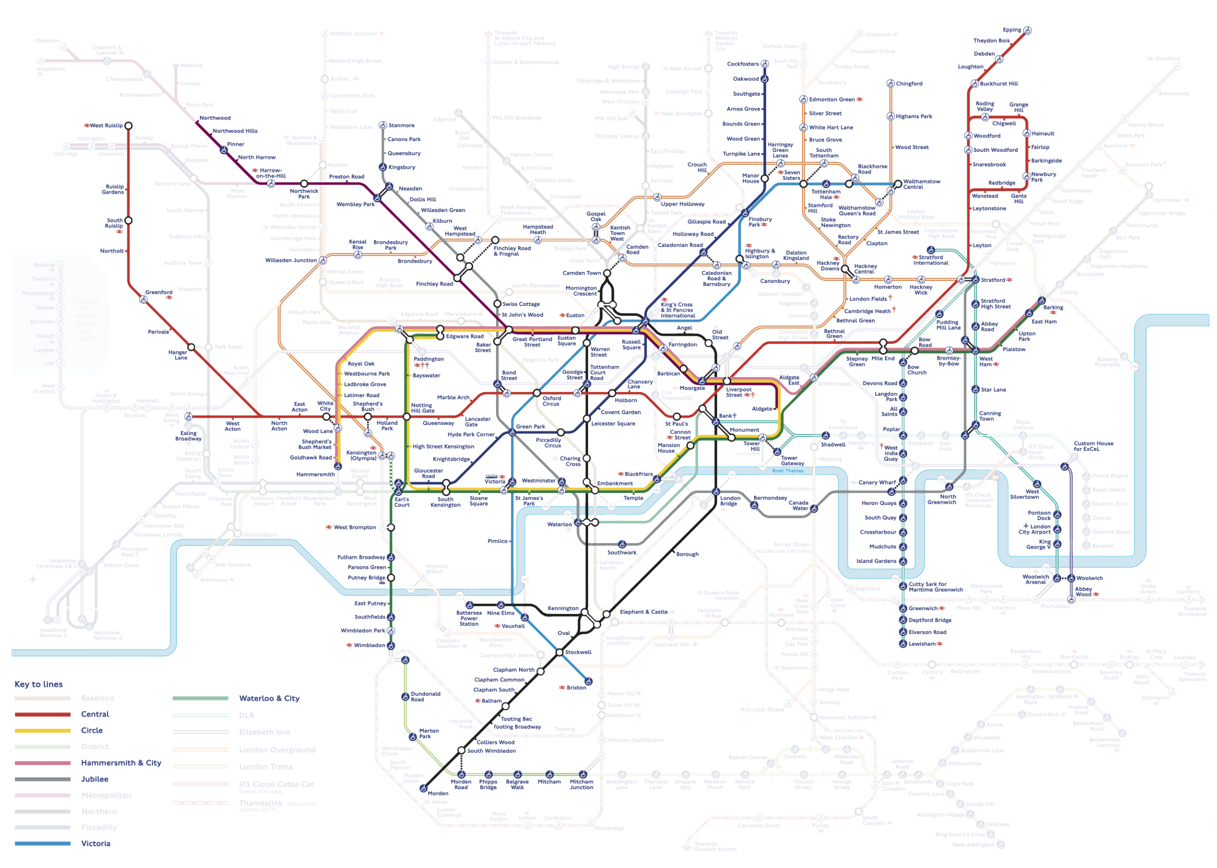
Another #WalkTheTube today - the Hammersmith and City line has now been completed! 💥
(Plus I cleaned up some annoying little bits around the city and east end)
Photos
Where I’ve walked
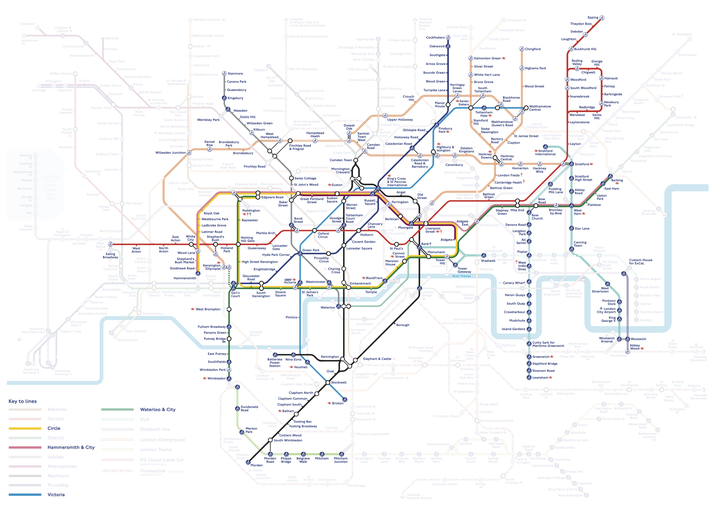
Walking the TfL map – 10th April
A short #WalkTheTube today because the weather was so grim - (Walthamstow to) Edmonton Green to Liverpool Street.
The slideshow and photos are now up.
Photos
Where I’ve walked
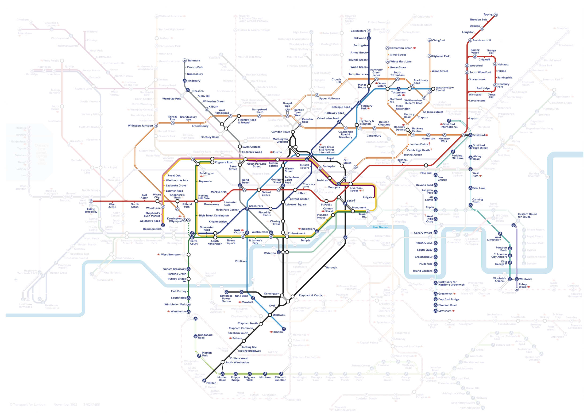
Walking the TfL map – 7th April
Today’s #WalkTheTube exposition saw me tidy up an annoying little bit of the District line, then fill in some Overground on my way to do the northern end of the Jubilee.
Photos
Where I’ve walked
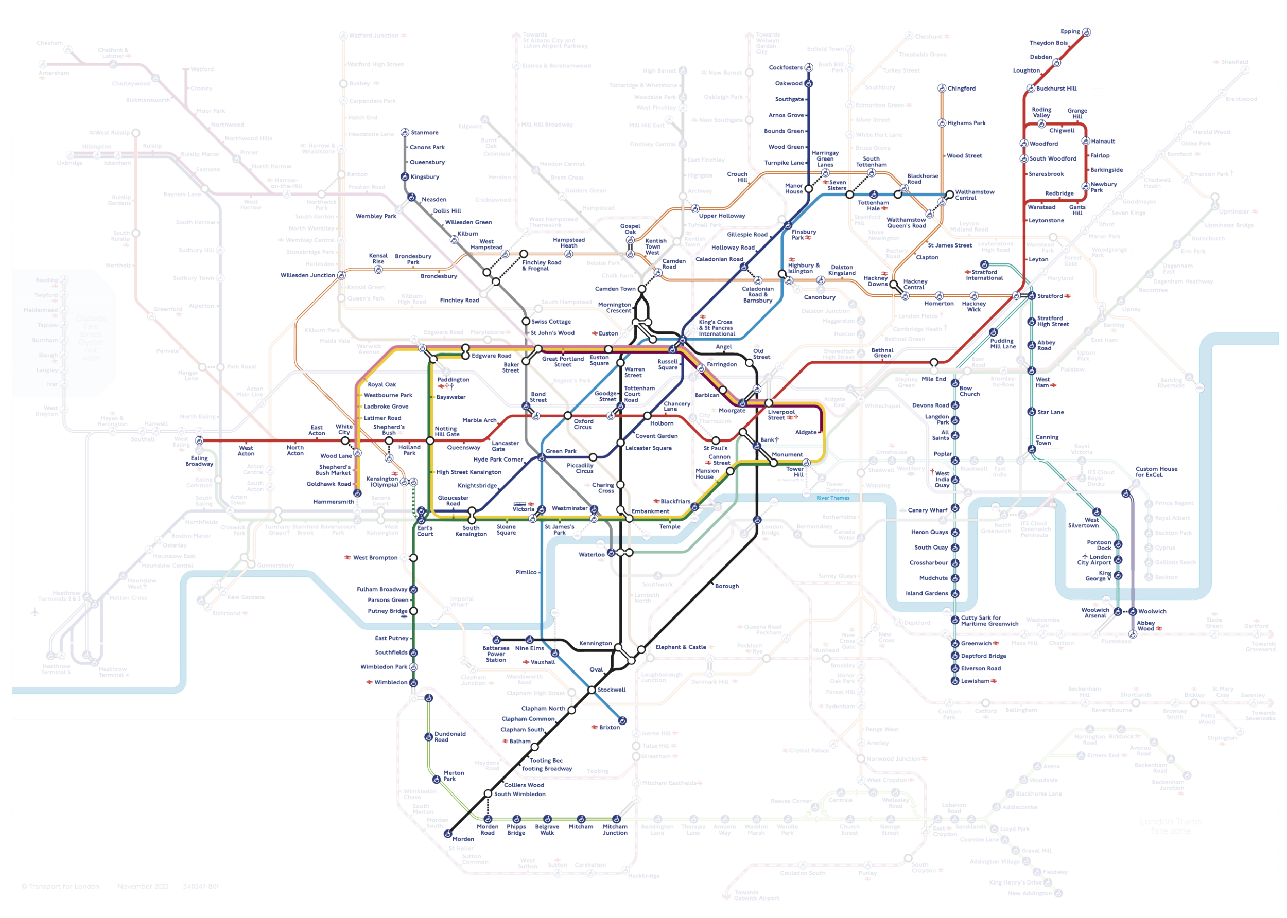
…and here are the photos from yesterdays #photowalk around the Circle line. 📷🚶
#london #WalkTheTube
The slideshow from yesterday’s photowalk around the Circle line is now up on YouTube. Non-Londoner’s might enjoy some of the tourist landmarks that I shuffled past on my way around… 🇬🇧📷🚶
Walking the TfL map – 1st April
Things have definitely slowed on the #WalkTheTube front now that I’ve run out of leave - but I did go out and conquer a new line today.
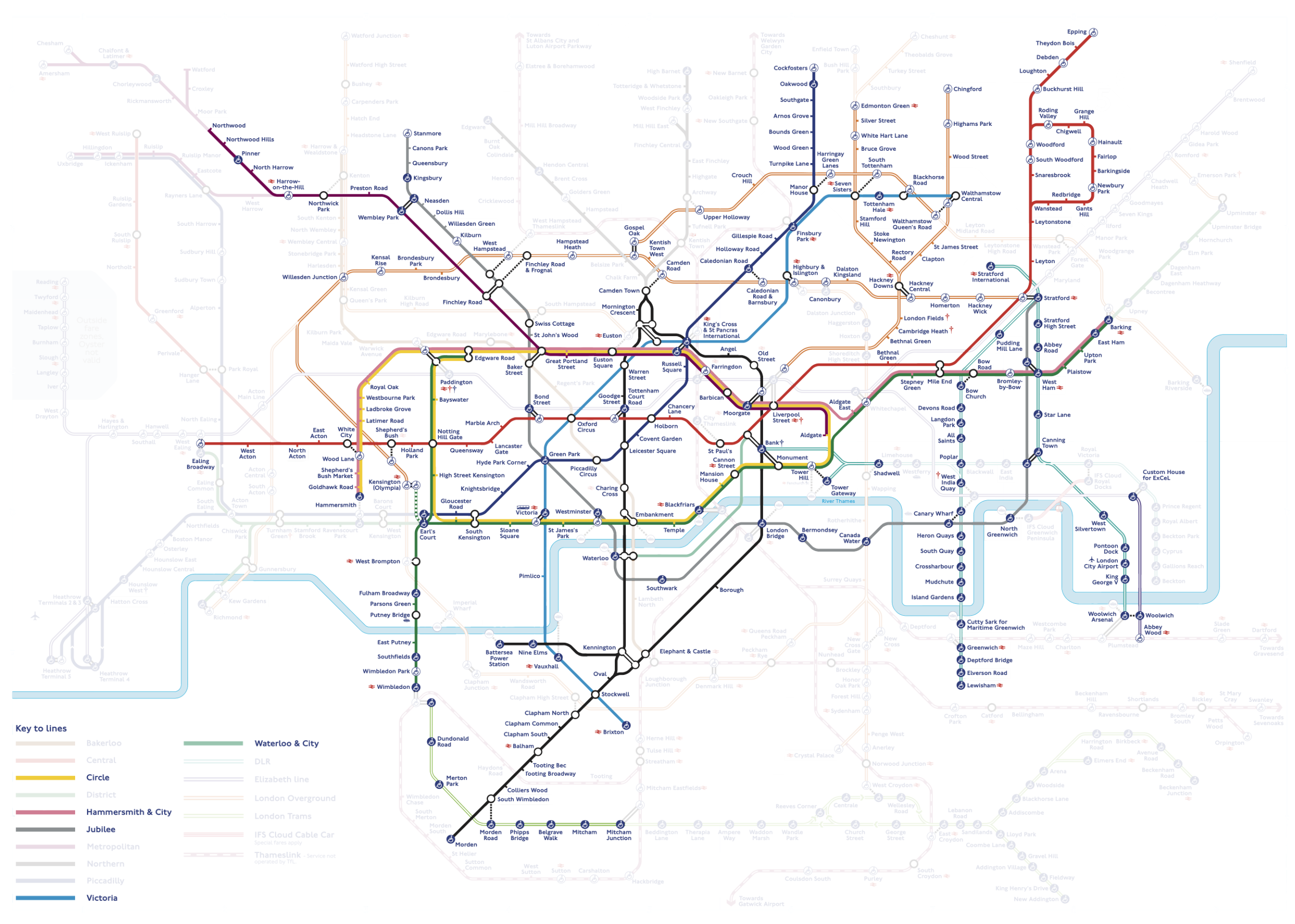
The Circle line has been completed! POW!
Photos and slideshow are now up.
Photos
Where I’ve walked
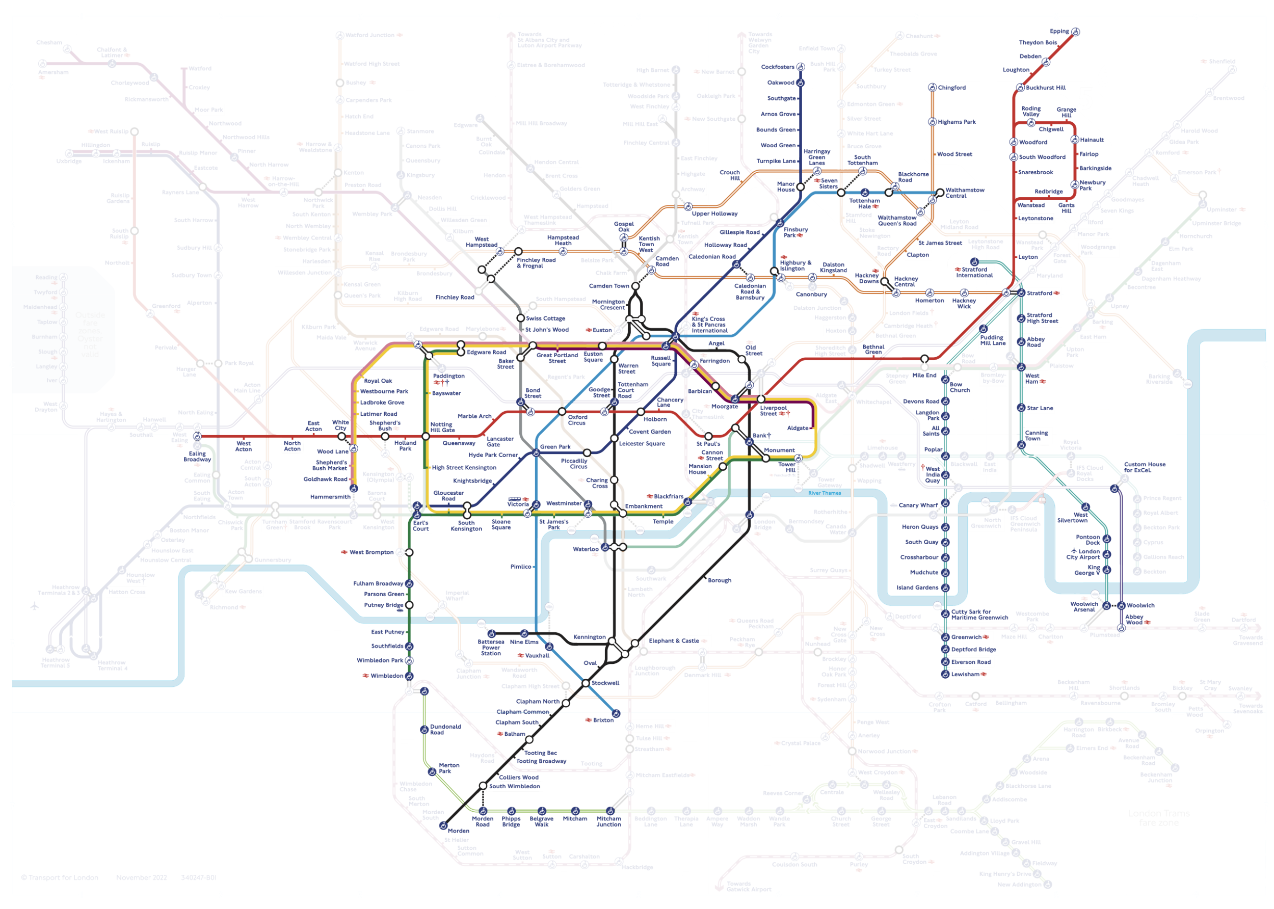
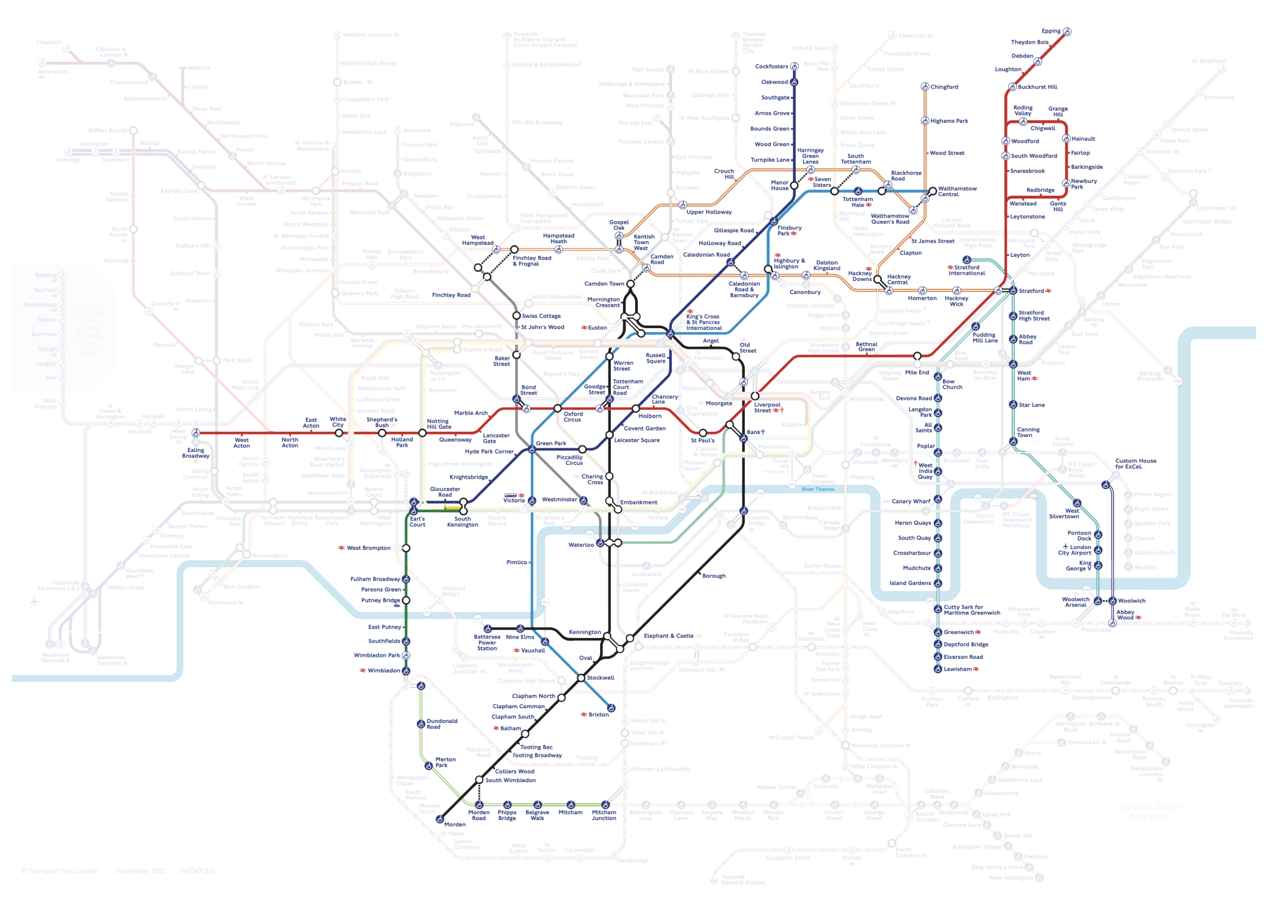
Oh no, south of the river again. #WalkTheTube
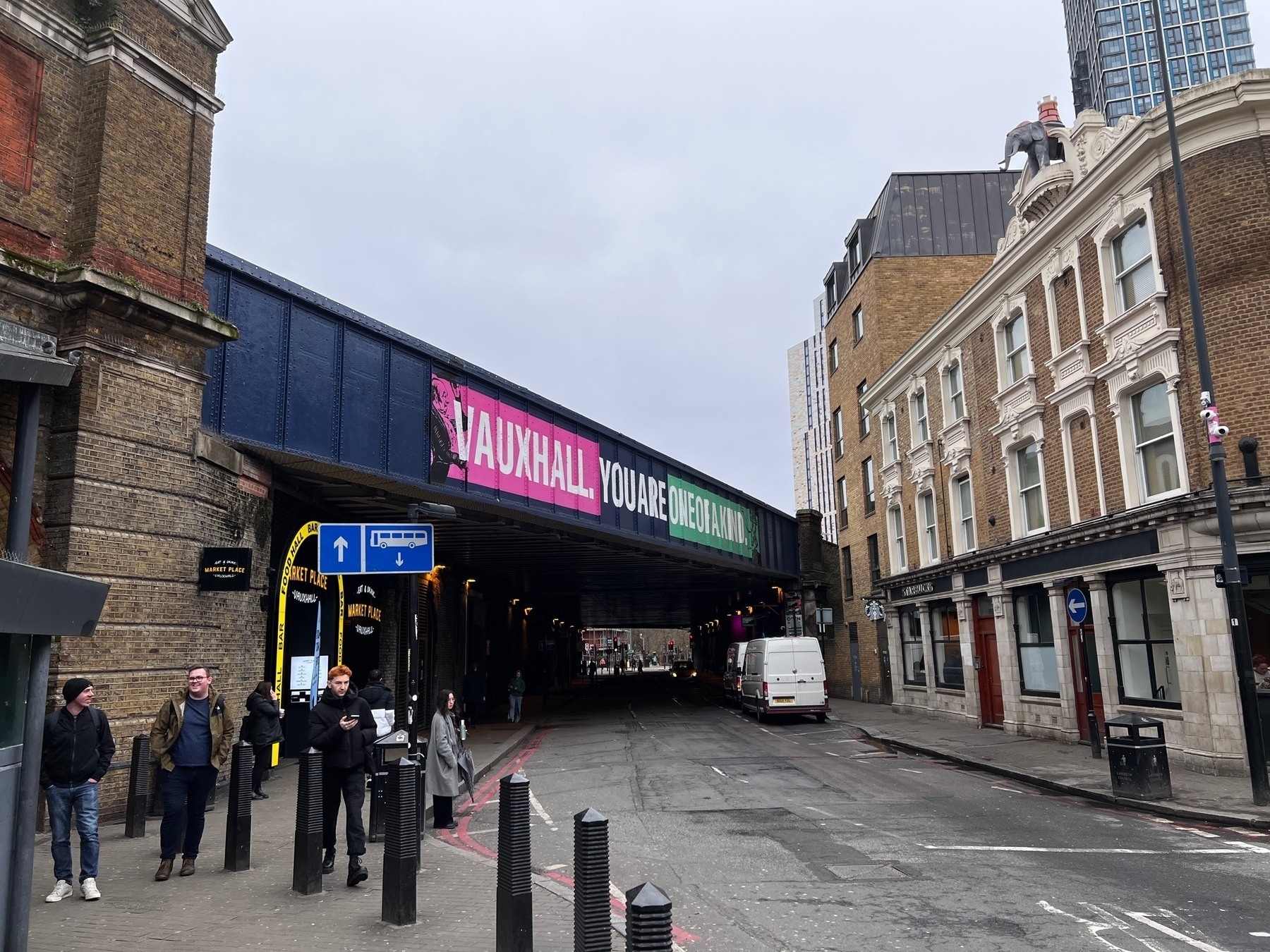
Walking the TfL map – 19th March
I did a little bit of the Piccadilly line, followed by the Central line out to Ealing Broadway.
Check the links below for photos and slideshows:
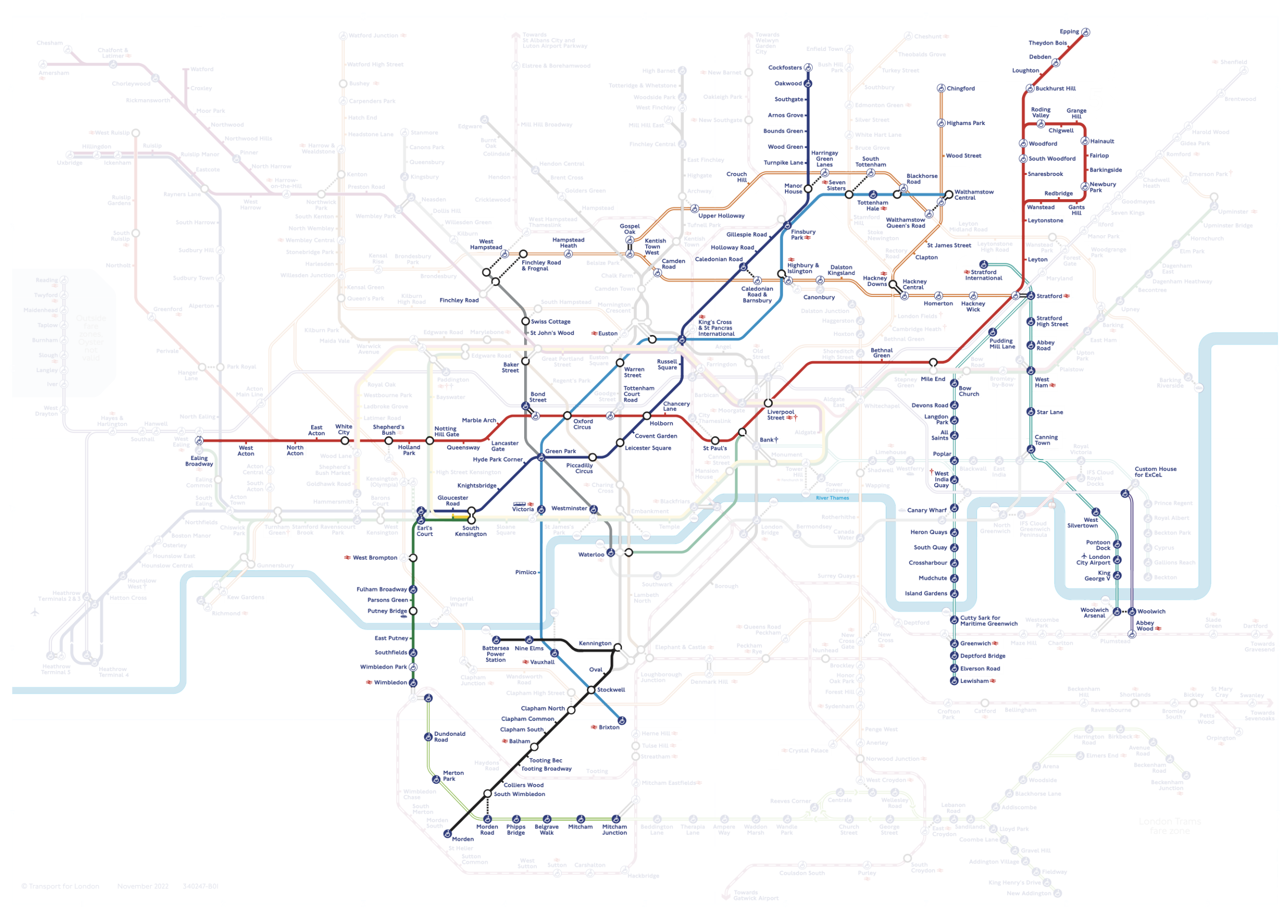
Walking the TfL map – 14th March
I’ve just updated my #WalkTheTube map with today’s walk, ticking off the southern end of the northern line, a bit of the tram route and District line from Wimbledon to Gloucester Road.
The slideshows of today’s walk are in my #WalkTheTube YouTube playlist
And the photos are in my #WalkTheTube collection on Flickr
